375372
Availability:
Copies are only available in the library: sygn. K-1133 (1 egz.)
Notes:
General note
Mapy poboczne: 's-Gravenhage, 14x10 cm; Amsterdam, 10x14 cm; Rotterdam, 12x14 cm; Antwerpen (Anvers), 13x14 cm; Bruxelles (Brussel), 13x14 cm; Luxembourg, 11x10 cm.
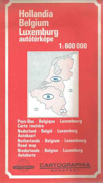
Na panelu także tytuły równoległe w językach francuskim, niderlandzkim, angielskim i niemieckim: Pays-Bas, Belgique, Luxembourg : carte routière = Nederland, België, Luxemburg : autokaart = Netherlands, Belgium, Luxembourg : road map = Niederlande, Belgien, Luxemburg : Autokarte.
Rzeźba terenu: cieniowanie, punkty wysokości.
Tytuł panelowy.
Language note
Treść mapy w językach lokalnych, legenda w językach: angielskim, francuskim, niderlandzkim, niemieckim, węgierskim.
Reviews:
The item has been added to the basket. If you don't know what the basket is for, click here for details.
Do not show it again